Photogrammetry and Orthomosaics
Visual Symphony of Site Surveys
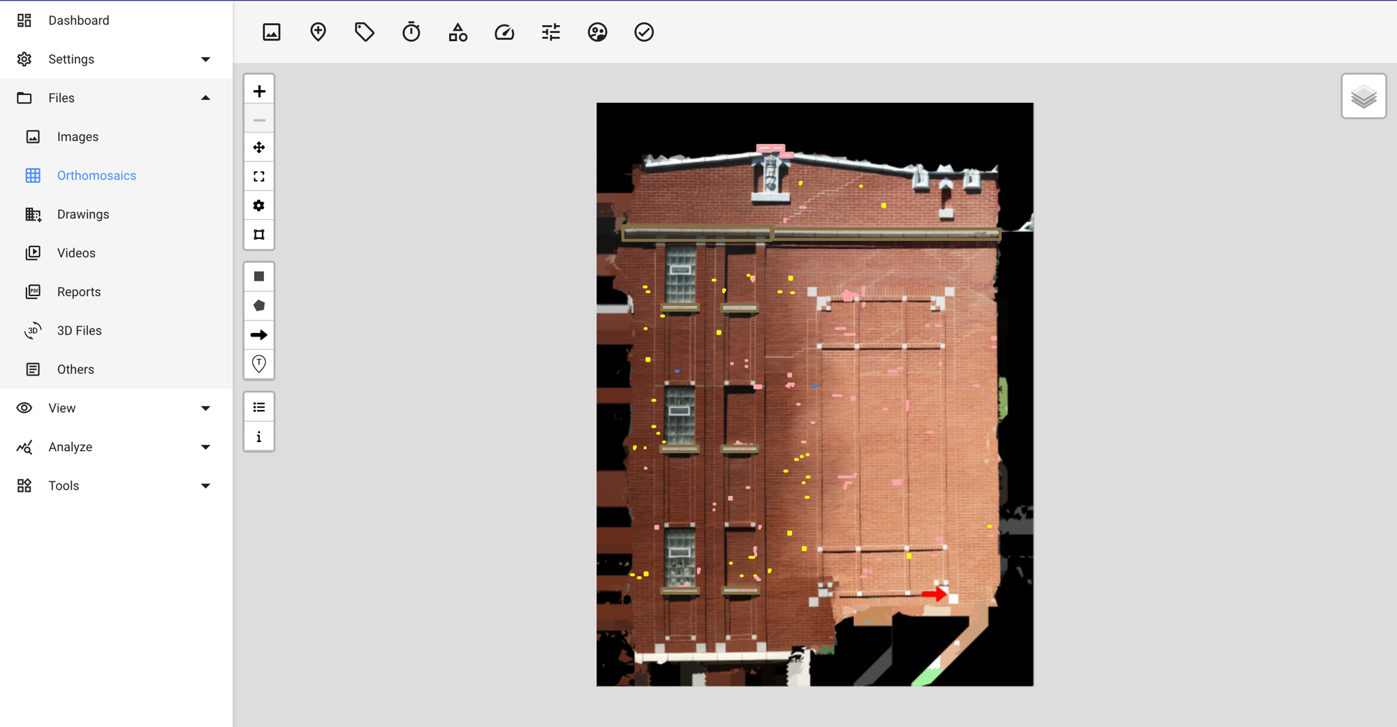
Advanced photogrammetry techniques fuse images into detailed orthomosaics, providing an all-encompassing view of the property's exterior for thorough examination.
Crafting a Mosaic of Precision for Detailed Examinations
Automatically create rich 3D models
Automated 3D model creation from photographic data offers a tangible, volumetric perspective of structures, facilitating virtual walkthroughs.
Generate high resolution 2D orthomosaics
High-resolution 2D orthomosaics serve as detailed maps of property surfaces, essential for pinpoint analysis and planning.
Drawing overlay for precise markup
Overlaid orthomosaics on architectural drawings combine detailed imagery with precise scale, aiding in accurate site markups.


