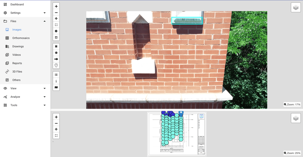
Drone Inspection Imagery
Elevate Inspections to Sky-High Precision
Sophisticated software effortlessly processes extensive aerial data collections, rendering detailed property views from street to skyline.
Elevating Aerial Insight with Unmatched Precision
Capture images with GPS metadata
GPS metadata integration enhances the precision of image mapping, anchoring visuals to their geographical coordinates.
Auto-triangulate camera locations to elevation drawings
Auto-triangulation connects drone-captured images to their corresponding location on vertical elevation drawings, facilitating a 3D understanding.
Streamline data collection for 3D modeling
3D modeling streamlines the transition from raw aerial data to structured, navigable models of the property.


